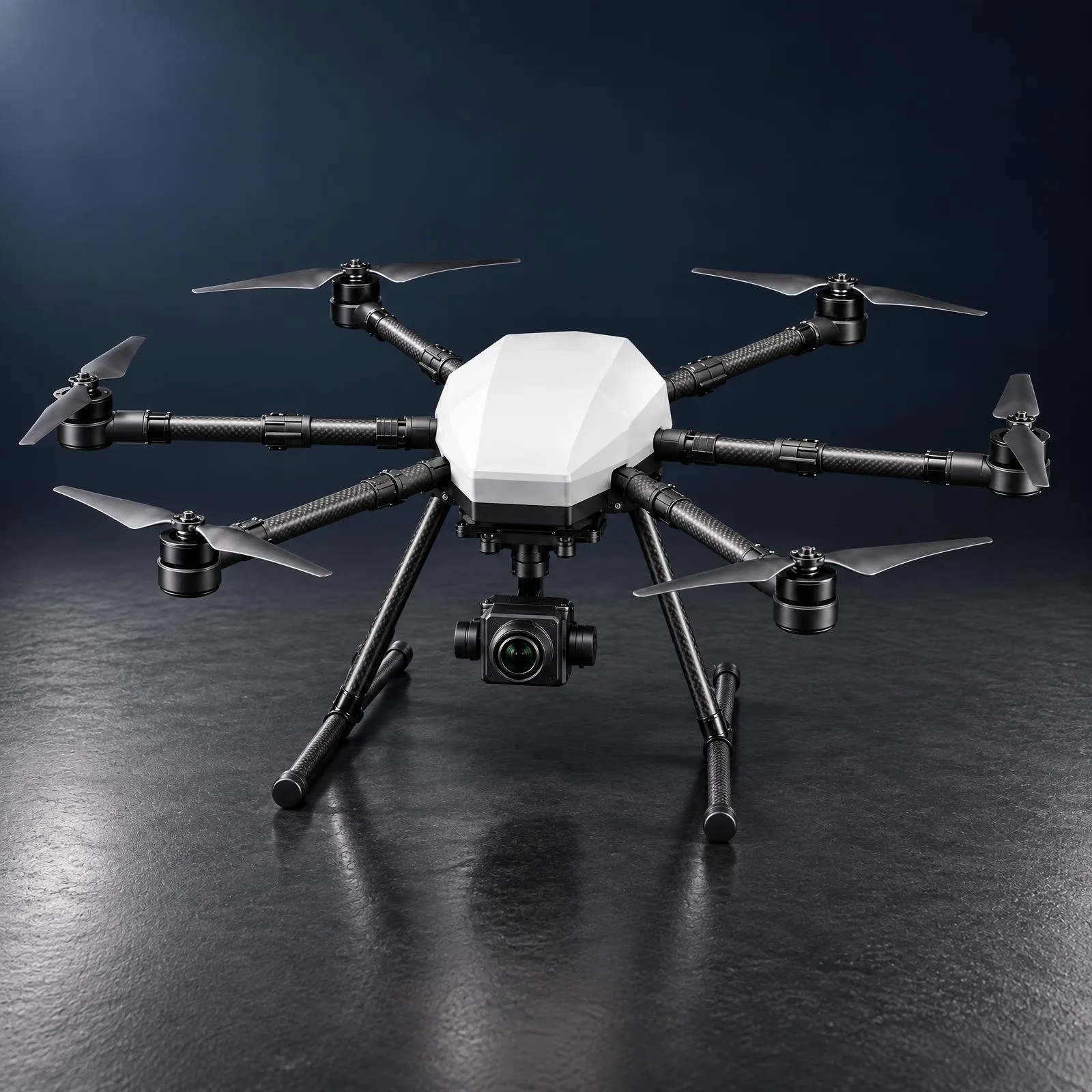
Mosaic A
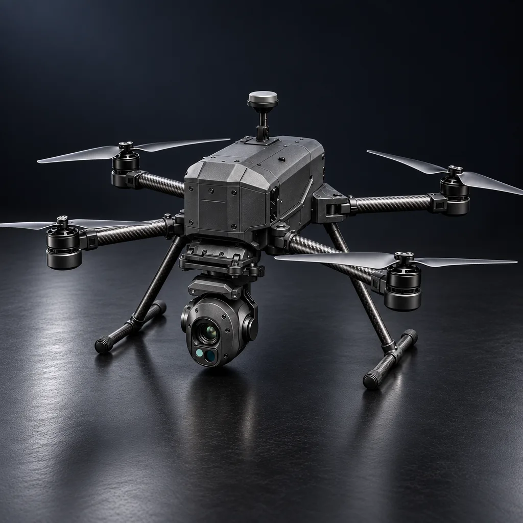
Survey and mapping drone with a fixed camera
- Endurance
- 55 min
- Range
- 10 km LOS
- Payload
- 1.65 kg
- Total weight
- 13.4 kg
Mosaic A is a hexacopter with one job: survey. A 42 MP full frame camera sits permanently on a stabilised gimbal for orthomosaics and 3D reconstruction. It flies for 55 minutes with 2 to 3 cm RTK accuracy. It gives up payload flexibility in exchange for simplicity, and does the same job well every time.
Specification
The numbers
Physical
- Type
- Hexarotor X6
- Wheelbase
- 1,300 mm
- AUW / empty
- 13.4 kg / 8.4 kg
- Folded
- Arms fold, under 15 min to deploy
- IP rating
- IP43
Performance
- Endurance
- 55 min hover / 47 min survey
- Cruise / survey speed
- 20 / 5 to 8 m/s
- Ceiling
- 3,000 m AMSL
- Wind limit
- 10 m/s, gusts to 12
- Max thrust
- 71.4 kg, T/W 5.33
Payload
- Capacity
- 1.65 kg max
- Camera
- 42.4 MP full frame
- Gimbal
- 3 axis, ±0.005°
- GSD
- 1.3 cm at 100 m
Communications
- Control link
- Encrypted digital link, 256 bit AES
- Range
- 10 km LOS
- Navigation
- Dual GNSS + NavIC
- Accuracy
- RTK 2 cm / PPK 1 cm
Specifications shown are design targets. Figures may vary once a system is built to your specific requirements.
Capabilities
What it does well
Better than the brief
A 42 MP full frame camera, where the requirement called for 40 MP on a 1 inch sensor
Survey grade positioning
RTK and PPK accuracy for orthomosaics
Onboard AI
Detects objects in real time during a survey
Quick to deploy
Folds down and travels in a transit case
Next step
Talk to us about Mosaic A.
Configurations, integration with your equipment, or a variant built to your requirement. Tell us what you need and we will take it from there.